Central Vermont
Central Vermont
Central Vermont is the middle of the state in more than the geographic sense. It is where the Green Mountains flatten into working farmland, where the Winooski River and its branches gathered mills and then towns, and where the deepest granite deposits in New England turned a hill settlement into a city of stone carvers. This guide is a reference to that region — its towns, its buildings, its trails and its seasons.
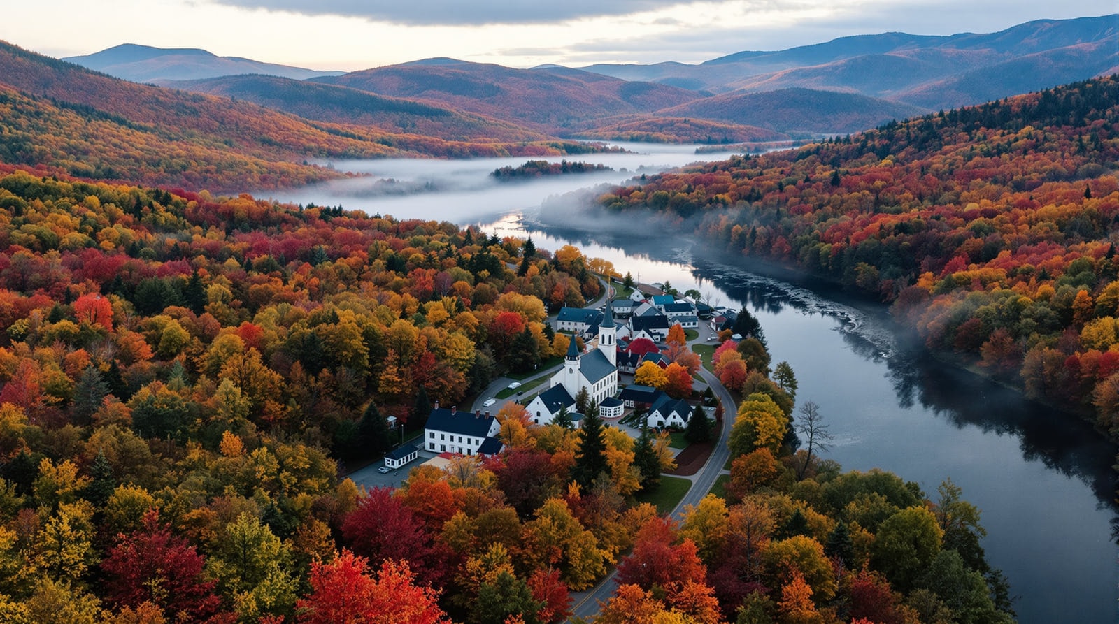
The area covered here is roughly Washington County together with a few neighbouring towns that have always looked toward the same valleys: Barre and Montpelier, Northfield and Waterbury, the Mad River Valley towns of Waitsfield, Warren, Fayston and Moretown, and the hill towns of Cabot, Calais, Marshfield, Plainfield, Woodbury, Worcester, Orange, Washington, Williamstown, Roxbury, Duxbury, Middlesex, Berlin and East Montpelier. Fewer than sixty thousand people live in the whole of it, and the smallest state capital in the United States sits at its centre.
What makes this region distinct
Three things separate Central Vermont from the rest of New England, and all three are still legible in the landscape.
The granite. The hills east of Barre hold an unusually deep, unusually uniform bed of grey granite, and from the 1880s onward it drew skilled stone workers from Scotland, Italy, Spain and Scandinavia to a town that had been mostly Yankee farmland. The industry made Barre a city, gave it an opera house and a labour hall, and left behind the finest concentration of memorial carving in North America. The granite sculpture at Hope Cemetery is the clearest single expression of it.
The capital. Montpelier was chosen as the seat of Vermont's government in 1805 because it was central, and because local residents put up land and money to make the case. It has stayed small — a downtown of nineteenth-century brick and granite blocks, a gold-domed State House at the head of State Street, and hills that come right down to the edge of the built area. It is the only state capital in the country without a national fast-food franchise on its main street, and it reads today much as it did in the photographs of the 1890s.
The mountains. The main spine of the Green Mountains runs along the region's western edge, carrying the Long Trail over Camel's Hump, General Stark Mountain, Mount Ellen and Mount Abraham. Below the ridge, the Mad River Valley and the Winooski basin are laced with dirt back roads that have changed very little in a century. See outdoor recreation, hiking, and Camel's Hump State Park.
How this guide is organised
History and heritage
The heritage section covers the region's museums, historic buildings and the National Register material. The town histories collect what is known about how each community was chartered, settled and made its living. The historic walking tours describe the downtown architecture of Barre, Montpelier, Waterbury and Waitsfield building by building, and the libraries page covers the region's public libraries, several of which are also its local archives.
Outdoors and the seasons
The outdoor recreation overview leads to detailed pages on hiking the ridgeline, back-road bicycle touring and Camel's Hump. Two pages deal with the calendar rather than the map: fall foliage, which explains why the colour arrives when it does, and the Central Vermont climate, which is a plain account of what nine feet of annual snowfall actually means.
Outdoor days here range from level river paths to rooty ridgeline descents, so distance alone is a poor measure of effort. The expanded guide to outdoor recreation in Central Vermont now pairs the map with practical planning: surface, elevation change, turnaround time and the demands a route places on the walker. It remains a regional overview, with detailed routes and current access left to the dedicated pages and public-land sources.
The working landscape
Vermont products covers the region's manufacturing and farm output — granite, dairy, cider, and above all maple. Sugaring gets its own page, because it is the one industry that touches almost every rural property in the region. Country stores, regional food and the kinds of lodging found here round out the picture, and the year round describes the seasonal rhythm the whole region runs on.
A note on what this site is
This is an independent reference. It carries no listings, no bookings, no membership and no commercial directory. Where a business existed in the historical record it is described as part of the region's economic history rather than promoted, and no current hours, prices or contact details are published for anyone. Public institutions — the State House, the state parks, the public libraries, the National Register sites — are named because they are the subject matter. For the reasoning behind that, and the full non-affiliation statement, see about this guide.
Starting points
- If you are researching family or local history: begin with the town histories and then the libraries, several of which hold the primary material.
- If you are visiting for a weekend: the points of interest page is the shortest route to the things worth the drive, and the walking tours will fill an afternoon in any of the four downtowns.
- If you are here to walk: start with hiking for the ridgeline routes and bike touring for the valley roads.
- If you are coming in October: read the foliage page first. It explains the timing better than any forecast will.
Where a claim rests on a specific record it is attributed in the text. Broader context on Vermont's documented past is held by the Vermont Historical Society, and the listings for individual buildings are searchable through the National Register of Historic Places.
References
- Vermont Historical Society — The state historical society holds the deep collections behind much of this material.
- National Register of Historic Places — Many of the buildings described here are listed on the National Register.