Outdoors
Camel's Hump State Park
Camel's Hump is the most recognisable mountain in Vermont and the only one of the state's high peaks that has been left alone. There is no summit road, no lift, no communications tower and no building on it. The reserve around it covers 16,654 acres, the summit stands at 4,083 feet, and the park is open year round, twenty-four hours a day.
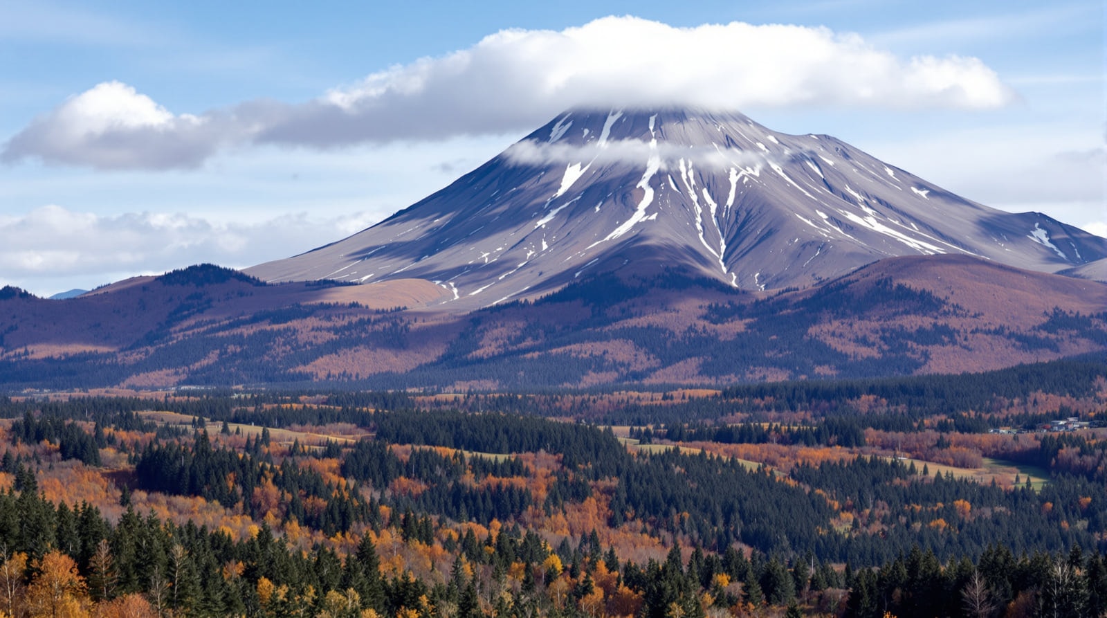
The mountain
The profile is what people know it by — a long shoulder rising to an abrupt rock summit, seen from the Winooski valley and from most of northern Vermont. The upper slopes are heavily spruce, and above roughly 3,500 feet the forest gives way to a summit area that supports arctic-alpine vegetation: a small remnant community of plants left behind when the last glaciation retreated, surviving here because the exposure and the cold sustain conditions that otherwise exist hundreds of miles north.
That alpine community is the single most important thing about the mountain from a conservation point of view, and it is why walkers are asked to keep strictly to bare rock and marked tread on the summit. The plants are slow-growing, shallow-rooted and take decades to recover from footfall.
The Long Trail, which runs the length of the state along the Green Mountain ridge, traverses the park and crosses the summit. Route descriptions, distances and trailhead directions are on the hiking page.
The names
The mountain has been renamed repeatedly, and the sequence is a compressed history of who has been here.
- Tah-wak-be-dee-ee-wadso — the Waubanaukee name, generally rendered as "Saddle Mountain".
- Lion couchant — "the resting lion", the name used by Samuel de Champlain's explorers in the 1600s, describing the same profile from the other direction.
- Camel's Rump — the form that appears on Ira Allen's historical map of 1798.
- Camel's Hump — the softened version that took hold from about 1830 and has stuck since.
How the reserve is managed
The park is not a single uniform protected area. It is divided into three management zones, each with a different purpose, and the boundaries between them run by elevation.
The ecological area
Everything between 2,500 feet and the summit, plus the Gleason Brook drainage down to 900 feet, is managed for the preservation of rare plants and wilderness habitat. It is also a long-running research area: this zone has been studied for decades for the effects of environmental change — acid deposition and air pollution in particular — on high-elevation forest. The red spruce decline documented on these slopes was among the earliest strong North American evidence of that damage.
The timber management and wildlife area
Between 1,800 and 2,500 feet, a working zone that buffers the ecological area, encourages wildlife and preserves the mountain's appearance from outside. Permitted uses include timber production, wildlife management, hunting, hiking, Nordic skiing and snowmobiling.
The multiple-use area
The balance of the reserve's land, at lower elevation, where farming and seasonal and permanent homes sit alongside all the uses allowed in the timber and wildlife zone. It is a reminder that this is a New England mountain: people have always lived on its lower slopes and still do.
Visiting
- Access. The main eastern approach is from Duxbury, off Route 100 via River Road. The western approach is from Huntington. Both trailheads have parking and both fill early on fine autumn weekends.
- Season. The summit trails are open from late spring through late autumn. During mud season the high trails are closed to protect the tread; the closure is real and is enforced.
- Winter. The mountain is climbed in winter, but the summit is a serious place then — full exposure, high wind and short daylight. It is not a casual winter objective.
- Facilities. Effectively none, by design. No water on the ridge, no shelter at the top, no phone signal you can rely on.
- Dogs. Permitted on lead on most of the reserve; the alpine summit is not a good place for an off-lead animal.
Current conditions, closures and management information are published by the Vermont Department of Forests, Parks and Recreation. Trail maintenance and shelter information for the Long Trail across the park comes from the Green Mountain Club. Topographic and elevation data is published by the United States Geological Survey.
Why it matters to the region
Camel's Hump is the western skyline for most of Central Vermont — visible from the hill farms of Duxbury and Waterbury, from the ridges above Montpelier, and from the interstate. It has been left undeveloped through a century in which almost every comparable peak in New England acquired a road, a tower or a lift, and the decision to leave it alone was made repeatedly and deliberately. That is the mountain's real distinction, more than its height.
See also outdoor recreation in Central Vermont and the histories of the towns below it.
References
- Vermont Department of Forests, Parks and Recreation — Manages the reserve and publishes current access information.
- Green Mountain Club — Maintains the Long Trail across the summit.
- United States Geological Survey — Source for elevation and topographic data.