The Region
Points of Interest in Central Vermont
Central Vermont's attractions are not concentrated in one place, which is both the difficulty and the point. Almost everything worth seeing is within forty minutes of Montpelier, but you have to drive between them, and the driving is half of it.
The essential half-dozen
- The Vermont State House, Montpelier. The 1859 building on State Street, with the surviving portico of its 1836 predecessor, a gold dome and a working legislature inside it. Free to visit when the building is open, and unusually accessible for a seat of government. Background at the Vermont General Assembly.
- Hope Cemetery, Barre. The finest collection of memorial granite carving in North America, in a designed landscape of 1895. See the full guide.
- The granite quarry landscape above Barre. Open cuts hundreds of feet deep, waste piles the size of hills, and derricks left from the turn of the century. Commercial tours operate seasonally; the landscape itself is visible from public roads.
- Camel's Hump. Vermont's undeveloped high peak, visible from half the region and walkable from two sides. See the park page.
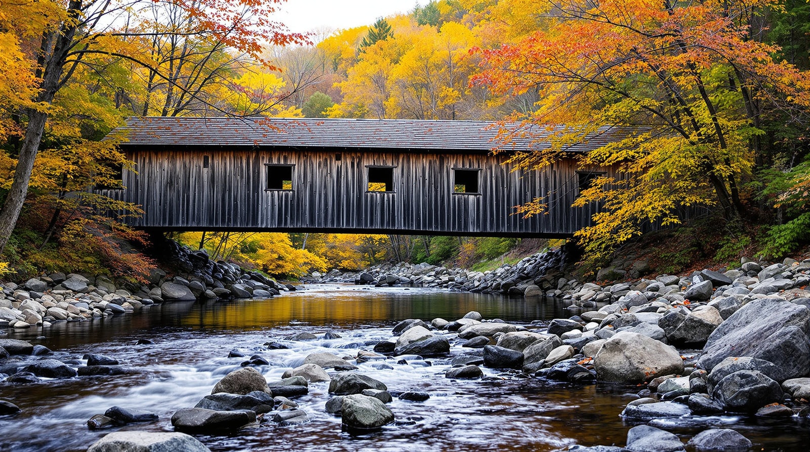
- The covered bridges. Several stand within a few miles of Northfield's centre, and the Mad River Valley has two more in daily use, including one of the most photographed spans in the state.
- The historic downtowns. Montpelier, Barre, Waterbury and Waitsfield, each walkable in an hour. See the walking tours.
Museums and collections
The state historical collections in Montpelier; the granite heritage museums in Barre; a 1930s and 1940s social-history museum in Waterbury; a military museum on the Northfield college campus; and the regional art collection on the Montpelier hill campus. These are covered in heritage and in the arts guide.
Working landscapes open to visitors
- Sugarhouses. In late March and early April, steam rising from a roof cupola means an operation is boiling; a great many will show you round. See sugaring.
- Cider mills. Autumn pressing, with the trays loaded by hand, is genuinely worth watching.
- Creameries and farm shops. The dairy landscape of the hill towns is the region's oldest industry and is described on Vermont products.
- A state fish hatchery in Roxbury, open to visitors, where the raceways are stocked and visible.
Water and green space
- The flood-control reservoir north of Montpelier — swimming, picnicking and a level shoreline walk, ten minutes from the capital.
- The Waterbury reservoir and the surrounding state forest — the region's largest water body, with paddling, camping and the abandoned hill-farm settlement in the woods above it.
- Montpelier's hillside park — several miles of trail and a stone tower with a view over the city.
- The state parks generally: day-use areas, campgrounds and beaches, with current details at Vermont State Parks.
Four back-road auto tours
Four driving loops through Central Vermont were mapped locally and remain the best way to see the region from the car. They are scenic at any time of year and exceptional during foliage.
1. The capital and the granite hills
Montpelier to Barre by the hill road rather than the main highway, up through the quarry district, past Hope Cemetery, and back through Berlin. Under thirty miles, and the densest concentration of the region's history.
2. The northern hill towns
North from Montpelier through Worcester, Calais and Woodbury, past a chain of small ponds and villages that never grew a centre, returning through Cabot and Marshfield. About sixty miles, most of it on dirt, and the best of the region's rural landscape.
3. The Mad River Valley and the gaps
West to Waitsfield and Warren, up one of the gap roads to the ridge and back. The gap roads climb through every elevation band in a few miles. Steep, narrow and closed in winter — check before you set out.
4. The southern loop
South through Northfield for the covered bridges and the college campus, on to Roxbury and Williamstown, and back to Barre. About fifty miles, with the most bridges per mile of any route in the region.
The state highway map published by the Vermont Agency of Transportation is the right base map for all four; junction signage in the hill towns is minimal and mobile coverage is patchy.
Planning a day
- Half a day: the Montpelier downtown walk, then Hope Cemetery and the quarry district. Everything within eight miles.
- A full day: add the northern hill-town loop, with a village store somewhere in the middle for lunch — see country stores.
- A weekend: add a ridge walk from one of the gaps (hiking) and the Mad River Valley villages.
- Rain: the museums, the libraries and the covered bridges, which are better in bad weather than in good.
References
- Vermont General Assembly — The legislature that sits in the State House.
- Vermont State Parks — Official information on the state park day-use areas and campgrounds.
- Vermont Agency of Transportation — Publishes the state highway map used for these routes.