Outdoors
Hiking in Central Vermont
The Mad River Valley segment of Central Vermont is bordered on two sides by mountains, which makes for exceptionally good day hiking, and it sits directly on the Long Trail — so it is also a natural place to resupply and rest if you are walking the length of the state. The routes below are the region's classics, described with the distances and elevation gains that have been used locally for decades.
Before you go
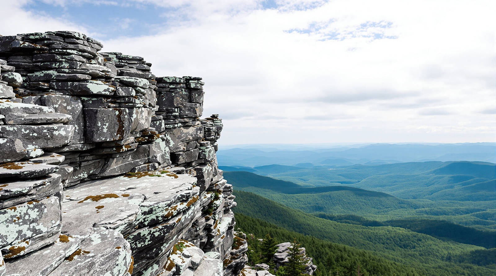
Three things about these mountains that catch people out. First, the summits are much more exposed than their modest heights suggest: several are above the treeline and carry arctic-alpine vegetation, and the weather on them can be forty years' worth of different from the weather in the valley. Second, the alpine plants are extremely fragile — stay on the rock and on the marked tread. Third, spring closures are real: the high trails are closed during mud season, usually from snowmelt into late May, to stop the tread being destroyed. Check current conditions with the Green Mountain Club and the Vermont Department of Forests, Parks and Recreation, and read the ridge forecast from the National Weather Service in Burlington before you commit to an exposed traverse.
Mount Abraham — 4,006 feet
3–4 hours round trip · 5.2 miles · 1,600 feet of gain
The most popular hike in the valley and a good first big summit. It is usually done from Lincoln Gap: the trailhead is on the Lincoln Gap road, off Route 100 in Warren. Park at the height of land and follow the Long Trail north for two and a half miles, passing the Battell Shelter after 1.8 miles. The summit is rocky and above the treeline, with a genuine panorama. It is a well-travelled trail and a good hike for older children. Descend by the same route. Lincoln Peak lies a further 0.8 miles north along the Long Trail, and some walkers descend from there by the ski trails of the South Basin.
Sunset Rock — 2,424 feet
1 hour round trip · 1.5 miles · 500 feet of gain
The easy hike with the dramatic payoff. Same trailhead as Mount Abraham — the top of Lincoln Gap — but follow the Long Trail south instead. The trail climbs steeply at first, then runs gently up and down before opening abruptly onto Sunset Ledge, with a long view west toward Lake Champlain and the Adirondacks beyond. Best in the last two hours of daylight, as the name suggests.
Mount Ellen and the Sugarbush loop — 4,083 feet
4–6 hours round trip · 5.5 miles · 2,500 feet of gain
From the northern ski-area parking lot, follow the service road to the top of Mount Ellen on the left-hand side of the ski terrain. From the summit, take the Long Trail south for 1.6 miles to the Castlerock lift at South Basin, then walk down the ski runs to the South Basin parking area. Mount Ellen carries the highest lift-served skiing in Vermont and is tied with Camel's Hump as the state's third-highest peak; only Mount Mansfield at 4,393 feet and Killington at 4,241 feet are higher.
General Stark Mountain — 3,662 feet
4–5 hours round trip · 6.2 miles · 1,285 feet of gain
From Route 100, take Route 17 up to the Appalachian Gap. Follow the Long Trail south for 3.1 miles to the summit, passing the top of the ski area on the way. Three overnight shelters stand near the route. The ridge here is narrow and rough, with good views in both directions, and the mountain carries a particular reputation among skiers that is entirely earned when you see the terrain from above.
Appalachian Gap to Lincoln Gap — the ridge traverse
5–8 hours one way · 11.6 miles
The finest walk in the region and the one that requires the most planning, since it needs two cars or a lift. Take the Long Trail south from Appalachian Gap, or north from Lincoln Gap. Coming from the north, Mount Ellen is reached after 5.3 miles and Lincoln Peak after 8.2. It is an arduous but very rewarding day, on a high, rugged and at times very narrow ridge with long views on both sides.
This is a classic that comparatively few people have actually done. Take the weather seriously and be honest about fitness: the ridge is high and exposed, and although there are escape routes down the ski runs, you do not want to be finding them in a storm.
Camel's Hump — 4,083 feet
3–5 hours round trip · 6.8 miles by the Forestry Trail
For a great many walkers this is simply the finest mountain hike in Vermont. From the top the view is like the view from a light aircraft — the mountain drops away at your feet. Of the state's high peaks it is the only undeveloped one: no lifts, no summit road, no towers. The summit area is above the treeline and supports arctic-alpine tundra.
From Route 100 in Duxbury, turn onto River Road and go 4.5 miles to a three-way intersection; turn left and continue 3.5 miles to the parking area. The summit is 3.4 miles up the well-maintained Forestry Trail. The trail is open from spring through late autumn. A popular variation takes the Dean Trail — left off the Forestry Trail — to Wind Gap on the Long Trail, then the Long Trail north to the summit, descending by the Forestry Trail; allow 4–6 hours. Note the trail junctions carefully on the way up, because they are easy to confuse on the way down. Camel's Hump has a page of its own covering the park and its natural history.
Shorter and lower
If the ridge is out of the question — bad weather, mud season, short daylight or small children — the region has plenty at lower elevations: the hillside park above Montpelier with its stone tower, the reservoir shorelines north of the capital and above Waterbury, the abandoned hill-farm trails in the state forest on the Little River, and the level recreation paths in the Winooski and Mad River valleys. These are described on the outdoor recreation page.
Practical notes
- Season. High trails: late May through October. Mud season closures are enforced and exist for good reason.
- Water. Carry it. There is little reliable water on the ridge.
- Weather. Summit temperatures run well below the valley, and the wind on the exposed ridge is the thing that ends days. Afternoon thunderstorms in July and August are frequent and fast.
- Guides. The definitive route descriptions for this ridge are published by the Green Mountain Club, whose Long Trail guide and day-hiker's guide are the standard references, along with the widely used regional hiking guides available in any Vermont bookshop.
- Leave no trace. Above the treeline this is not a slogan: the alpine plants take decades to recover from a single boot print off the rock.
References
- Green Mountain Club — Maintains the Long Trail and publishes the definitive guidebooks.
- Vermont Department of Forests, Parks and Recreation — Manages the state forest land these routes cross.
- National Weather Service, Burlington — The forecast office covering the Green Mountain ridgeline.