Seasons
Change Is Weather's Only Constant
Cool nights, plenty of snow and constant change are the things you can pretty much count on from Central Vermont's weather. Putting too much faith in the forecast can be damaging to your plans.
Temperature
The difference between the day's high and low averages twenty-four degrees Fahrenheit, which provides sleeping comfort even on the hottest summer night. The average high peaks at 81°F in July. It bottoms out at 27°F in January, when the average low is 4°F. Even in July the average low is 55°F.
Two consequences follow from that spread. The first is that air conditioning is not required here, and historically was not installed: the region records around 8,100 heating degree days annually against just 265 cooling degree days. July accounts for about 121 of the cooling degree days and August another 80, with June and September making up the balance. Heating degree days exceed 1,000 in every month from December through March and peak in January at about 1,500.
The second is that elevation matters enormously over short distances. A hill town at 1,400 feet will routinely be five to ten degrees colder than the Winooski valley floor a few miles away, and the summits are colder again — see hiking for why that matters on the ridge.
Snow
Snowfall is about nine feet a year — around 108 inches. Only June, July, August and September regularly escape measurable amounts. Most of it comes in fewer than half a dozen major storms, which may drop several feet at a time, but the road crews are exceptional and traffic keeps moving with few interruptions.
Winter humidity is relatively low, and the dry cold is genuinely more tolerable than the same temperature on the coast. Consistent winter cold means that most of the snow that falls after Thanksgiving is still on the ground in March; this is not a place where the pack melts between storms. That reliability is what underpins the region's winter economy, described on the outdoor recreation page.
Precipitation overall
Central Vermont receives just over forty inches of precipitation a year. About thirty inches of that falls as rain; the other ten inches of water equivalent generate the 108 inches of snow. Rainfall is distributed fairly evenly through the year, without a pronounced wet or dry season, though summer thunderstorms can deliver a great deal of water very quickly — which, in a region of steep-sided valleys and a floodplain capital, is not a trivial fact.
Mud season
Many feet of melting snow, combined with spring rain and a great many dirt roads, produces a one-month season that is uniquely Vermont. Mud season generally runs from late March into early May. Unpaved roads become impassable or nearly so; the state closes high hiking trails to stop the tread being destroyed; and frost heaves make the paved back roads genuinely rough. It is the one time of year when the region is honestly difficult to travel in, and residents plan around it as a matter of course.
Mud season is also sugaring season, and for the same reason — see sugaring. The freeze-thaw cycle that ruins the roads is exactly the cycle that starts the sap running.
The five seasons
- Winter (December–March). Cold, dry, reliably snow-covered, and short on daylight. The best light of the year is in February.
- Sugaring (March–early April). Days above freezing, nights below. Vermonters treat this as a season in its own right, and they are right to.
- Mud season (April–early May). Brown, wet and awkward. Low-elevation walking only.
- Summer (June–August). Warm days, cool nights, afternoon thunderstorms, and everything green. Black flies in late May and June are the local tax.
- Autumn (September–October). Clear, cool and spectacular. See the foliage page.
What it looks like
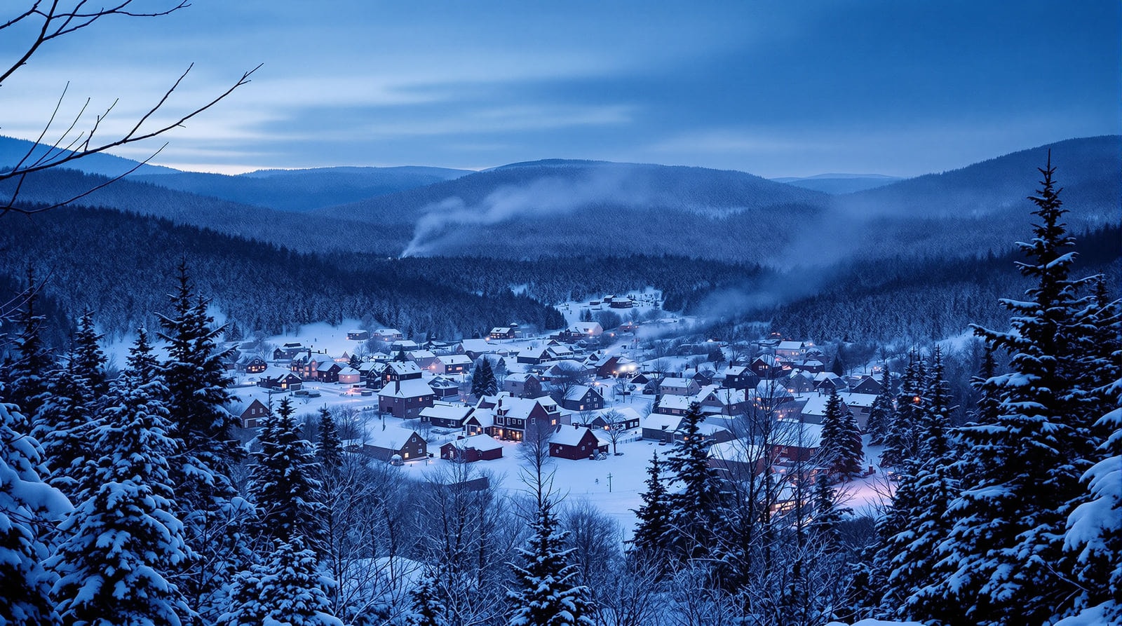
With the mountains for their easel, the seasons paint an ever-changing masterpiece. The fall colours are known worldwide, but the other seasons are just as good. A fresh snowfall blankets the ground and leaves tufts like cotton on the branches. Spring brings brown and green in every shade as the leaves are reborn. A hardy sort of person comes to appreciate Vermont year round, and a fair number of them stay.
Checking the figures
The averages above are the long-standing local figures for the region and are useful as a description of what to expect rather than as a formal climate record. Current forecasts and warnings for Central Vermont come from the National Weather Service office in Burlington, and the official long-period normals — which are recalculated every decade and are the right source for anything that has to be exact — are published by NOAA's National Centers for Environmental Information.
References
- National Weather Service, Burlington — The forecast office responsible for Central Vermont.
- NOAA National Centers for Environmental Information — Publishes the long-period climate normals these figures should be checked against.